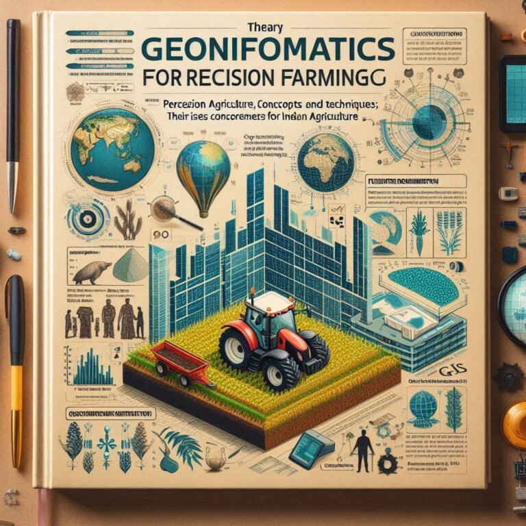
Geoinformatics and Nano-technology for Precision Farming – BSc Agriculture is an undergraduate four years program divided into eight semesters focused on the science and practice of farming and crop production. It covers a range of topics including soil science, plant biology, pest management, and agricultural economics. This degree prepares students for careers in farming, agribusiness, research, and environmental management, combining theoretical knowledge with practical skills to address global food security and sustainable agricultural practices.
| Geoinformatics and Nano-technology for Precision Farming | Download |
BSc Agriculture 1st Semester Notes Download
BSc Agriculture Second Semester Notes Download
BSc Agriculture 3rd semester Notes Download
BSc Agriculture 4th semester Notes Download
BSc Agriculture 5th semester Notes Download
Geoinformatics and Nano-technology for Precision Farming 2(1+1) syllabus
Theory
Precision agriculture: concepts and techniques; their issues and concerns for Indian agriculture; Geo-informatics- definition, concepts, tool and techniques; their use in Precision
Agriculture. Crop discrimination and Yield monitoring, soil mapping; fertilizer recommendation using geospatial technologies; Spatial data and their management in GIS;
Geodesy and its basic principles; Remote sensing concepts and application in agriculture; Image processing and interpretation; Global positioning system (GPS), components and its functions; System Simulation- Concepts and principles, Introduction to crop Simulation Models and their uses for optimization of Agricultural Inputs; STCR approach for
precision agriculture; Nanotechnology, definition, concepts and techniques, brief introduction about nanoscale effects, nano-particles, nano-pesticides, nano-fertilizers, nanosensors, Use of nanotechnology in tillage, seed, water, fertilizer, plant protection for scaling-up farm productivity.
Practical
Introduction to GIS software, spatial data creation and editing. Introduction to image processing software. Visual and digital interpretation of remote sensing images. Generation
of spectral profiles of different objects. Supervised and unsupervised classification and acreage estimation. Multispectral remote sensing for soil mapping. Creation of thematic
layers of soil fertility based on GIS. Creation of productivity and management zones. Fertilizers recommendations based of VRT and STCR techniques. Crop stress
(biotic/abiotic) monitoring using geospatial technology. Use of GPS for agricultural survey. Formulation, characterization and applications of nanoparticles in agriculture.
Projects formulation and execution related to precision farming.


![[PDF] BSc Agriculture Notes PDF Download All Semester](https://eagronomy.com/wp-content/uploads/2024/09/AddText_09-23-09.36.51.jpg)
![[PDF] BSc Agriculture Second Semester Notes Download](https://eagronomy.com/wp-content/uploads/2024/09/AddText_09-23-09.26.04.jpg)
![[PDF] BSc Agriculture 3rd semester Notes Download](https://eagronomy.com/wp-content/uploads/2024/09/AddText_09-23-09.27.27.jpg)
![[PDF] BSc Agriculture 4th semester Notes Download](https://eagronomy.com/wp-content/uploads/2024/09/AddText_09-23-09.28.20.jpg)
![[PDF] BSc Agriculture 5th semester Notes Download](https://eagronomy.com/wp-content/uploads/2024/09/AddText_09-23-09.29.14.jpg)
![[PDF] BSc Agriculture 6th semester Notes Download](https://eagronomy.com/wp-content/uploads/2024/09/AddText_09-23-09.29.54.jpg)

![[PDF] Rainfed Agriculture and Watershed Management Notes](https://eagronomy.com/wp-content/uploads/2024/09/AddText_09-23-09.42.12.jpg)